 Lexington, Buena Vista & Rockbridge County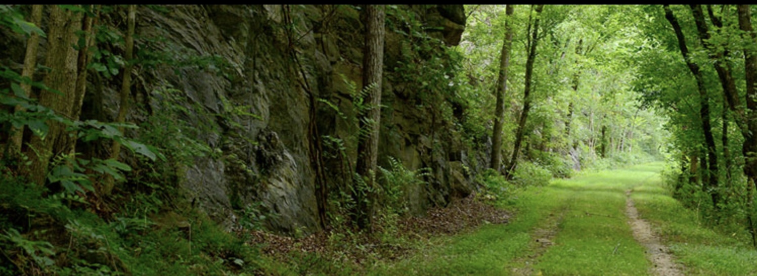
Lexington & Buena Vista: Easy Hikes
Easy and convenient city walks
There are several options for easy and convenient hikes near downtown Lexington and Buena Vista. In Lexington, a short walk from downtown drops you onto the Woods Creek Trail, a two-mile path which runs along Woods Creek behind VMI, W&L, and Waddell Elementary. The 7-mile Chessie Trail follows a rail-trail bordering the Maury River between East Lexington and Buena Vista. The level trail passes historic locks, striking cliffs, cow-filled pastures, thick forests, and abundant wildlife. Park in one of the lots on the river-side of Old Buena Vista Rd, about a half mile from Main St. The 2.5-mile River Walk borders the Maury River in downtown Buena Vista, running from Factory St south to W 10th St and beyond. Best bets for parking are the lot at W 21st street, which is on your left after crossing the railroad tracks, or the parking area on W 10th St, just before you cross the bridge over the Maury River. The Reservoir Hollow Trail climbs toward Elephant Mountain from Buena Vista, passing the old city reservoir as it ascends 4 miles through the George Washington National Forest to US 60. This hike becomes less easy as you climb. A spur trail climbs to the Blue Ridge Parkway. From Magnolia Ave, follow E 13th St east to Pine Ave. There are six creek crossings on this hike. Turn right on Pine Ave and follow it to the parking area (1100 Pine Ave). Beside the Blue Ridge Parkway at Milepost 34.4. a.1-mile walk from the Yankee Horse Ridge Overlook ends at pretty Wigwam Falls.
- 1Choose one
Pick it up beside the Miller’s House at Jordan’s Point or at Lime Kiln Bridge Park on Lime Kiln Rd.
- 🚗 about 15 min drive
- 2